


The caption reads: Map of the Turtle Bay Farm and its Six Subdivisions, accurately plotted from the field notes of Surveys made in the year 1820 by John Randall, Jr., City Surveyor, which field notes are recorded in liber 147 by J. B. Holmes, C. E. and City Surveyor / 47 Exchange Pl. / NY / July 1867.

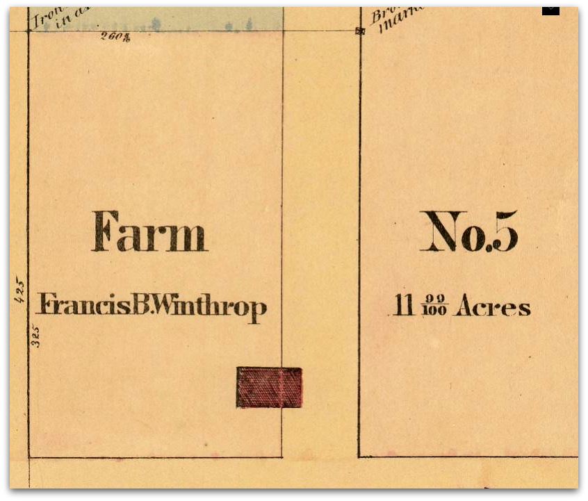
Map of the Tudor City area in 1820. This is the farm of Thomas Charles Winthrop, the son of Francis Bayard Winthrop, merchant of note.

This might look familiar to some readers, as the subject of a past post. It was the summertime mansion of Francis Bayard Winthrop.
 Finally, we move northward a few blocks to a spot that was known as Turtle Bay, said to be named after the turtles that frolicked there. Turtle Creek was its estuary, meandering to 49th and Second before it disappeared on this map, but in fact continued up to the southern end of Central Park.
No comments:
Post a Comment